A DAY IN LANDAMNNALAUGAR

RETTIR: THE ANNUAL SHEEP ROUND-UP
September 14, 2021
SWIMMING POOLS IN REYKJAVÍK
September 17, 2021In this article, we’ll give you advice to reach the amazing Landmannalaugar area, some one day trails and places to see in the surroundings.
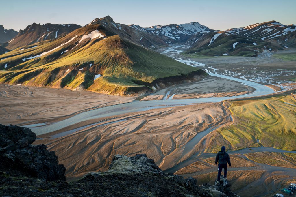
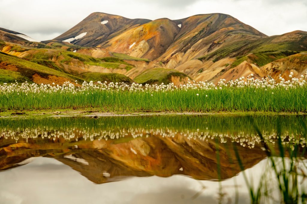
Landmannalaugar is a breathtaking, out-of-this-world area, located in the heart of Iceland’s Southern Highlands. The color palette of this vast, untouched region looks like an alien planet and if you spend enough time here, you might even forget that you are on Earth and not somewhere else in the universe. This beloved location was formed approximately 10 000 years ago during the last major Ice Age.
Throughout the summer, Landmannalaugar is one of the most popular places for hiking – either for a day or several – and for natural hot spring bathing. If you want to go there, know that a moderate fitness and stamina is required, but countless rewards will be offered by this otherworldly gem of nature. However, note that the area is not accessible during the winter season. Usually the roads to get there are open from mid-June to mid-September.
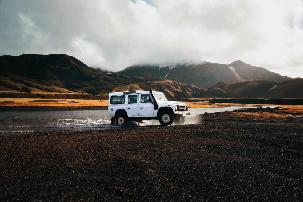
You can drive from Reykjavík to Landmannalaugar (around 3 hours), but the road trip will require you to rent a four-wheel-drive vehicle. If you’d rather not drive, you can explore tours to Landmannalaugar or take a bus from Reykavík. If you decide to drive there, know that the area can be reached by car in one of two ways. The quickest is driving through West Iceland, either via Selfoss or Þingvellir National Park. A longer but more scenic route would take you along the South Coast of Iceland. This is Iceland’s most popular sightseeing route, aside from the Golden Circle, due to the many beautiful sites of the area. Know that it is entirely up to the Icelandic Road Authority to decide when these roads open depending on weather conditions and how the roads are holding up after the winter.
If you decide to go by bus, there are several bus companies that have routes from Reykjavík to Landmannalaugar. In general, buses run from early to mid-June through early September. It costs around 7,500 ISK for a one-way bus trip from Reykjavík to Landmannalaugar. The trip is approximately 4 hours, one way. To get from Reykjavík to Landmannalaugar by bus, it takes just over four hours, one way.
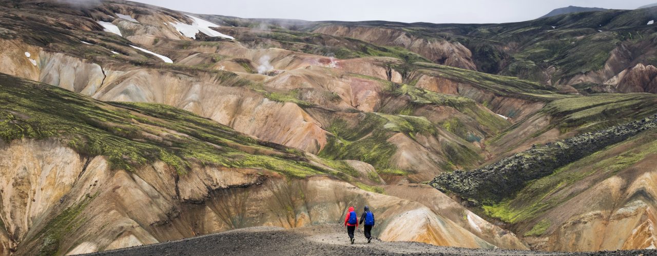
Landmannalaugar can either be the beginning or the end of many hikes in the Nature Reserve Fjallabak. The most famous (and long) trail is Laugavegur, which runs from Landmannalaugar to Þórsmörk, ‘the Valley of Thor’ (approximately 55km), ending at the beautiful Skógafoss waterfall. The surrounding area of Landmannalaugar is dotted with unbelievably beautiful hiking trails, both short and long. The mountains are split with gullies and gorges in multiple colours. One of the most incredible features of Landmannalaugar are the colorful rhyolite mountains. Rhyolite is a type of volcanic rock that is made of quartz and silica, giving the mountains green and pink colors. Minerals such as iron and sulphur add extra color to the mountains. Brennisteinsalda, also called the Sulphur Wave, is a very good example of this.
For one-day visitors, the most popular hiking trails in Landmannalaugar are the Laugahringur trail, the Brennisteinsalda volcano, the Bláhnúkur mountain, and the Suðurnámur mountain ridge. There are other hiking trails, but many of them are more difficult, longer, and require more time for preparation as well as better gear. There is also the longest one, the Laugavegur hiking trail that goes to Þórsmörk: 55 kilometers long and takes about three to four days.
LAUGAHRAUN LOOP
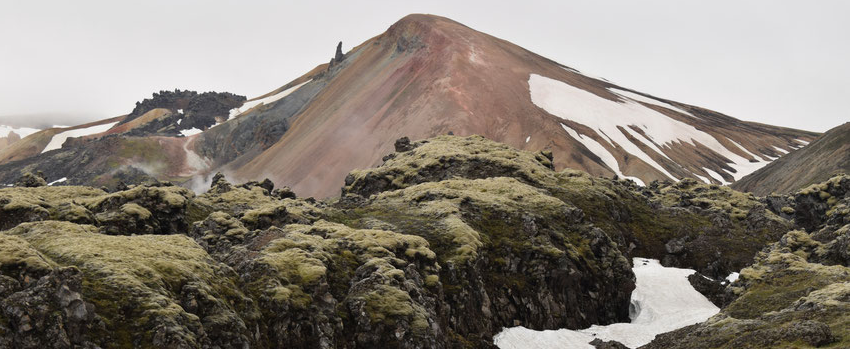
If you want to enjoy a short hike while discovering many of the highlights of the area, the Laugahraun hike is a great place to start. You can go through the lava field, pass by the multicoloured Brennistensalda and Bláhnúkur mountains and head down a small canyon in less than 2 hours, and then get back to your starting point.
BRENNISTEINSALDA
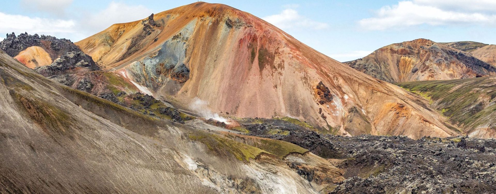
Mount Brennisteinsalda, also called the Sulphur Wave, is immediately recognizable due to its particular colors. It’s slopes of yellow sulphur and red iron are splattered with spots of blue ash. The base is surrounded by black lava with green grasses and luminous moss. This hike is an extension of the Laugahraun loop in reverse, but instead of walking around the base of the mountain, the hike goes over the top.
BLÁHNJÚKUR MOUNTAIN
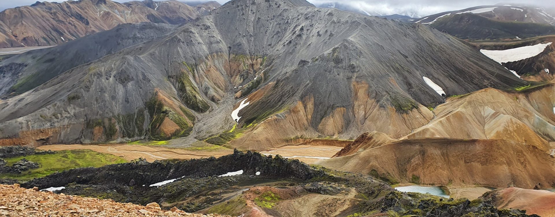
Bláhnúkur mountain, also called the Blue Peak, is the most challenging hike of this Landmannalaugar one day-hike list. You’ll be greatly rewarded with an amazing view above everything else. This blue mountain is covered in volcanic ash. Note that the path is steep with a lot of small rocks. You’ll also have to cross a small river.
You can also see
Háifoss
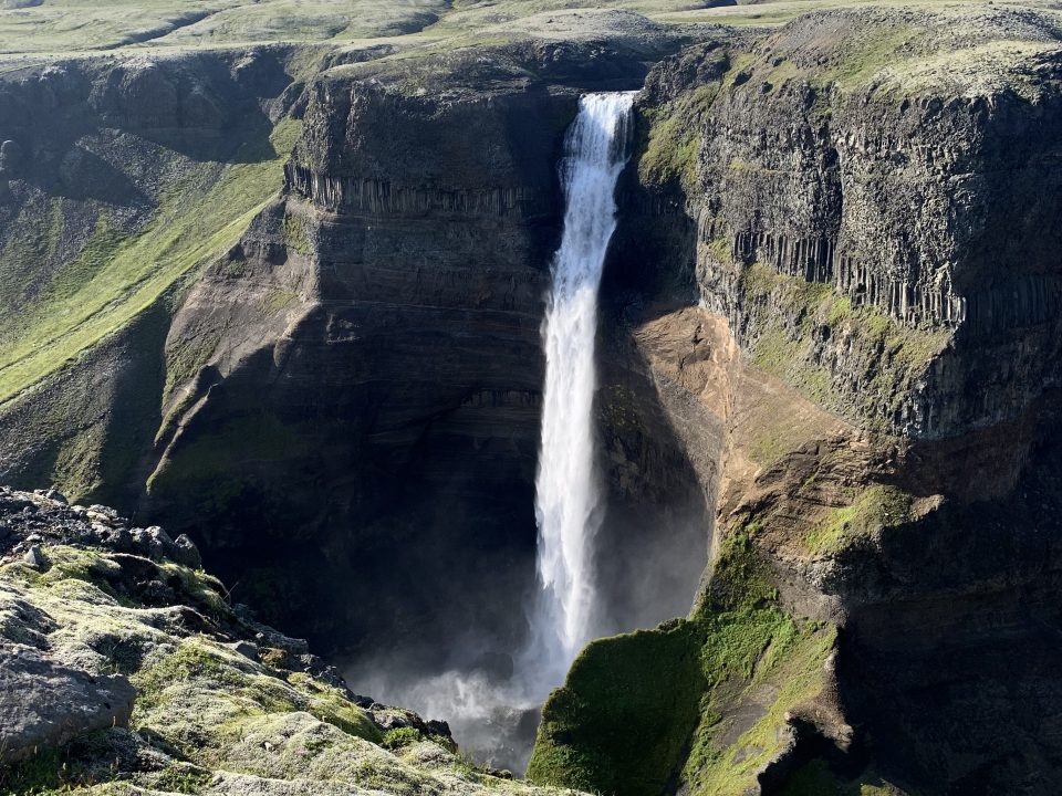
While you go there, you can also stop at Háifoss, the “High Waterfall”, which is the third tallest one in Iceland. From here you will be able to see the notorious Hekla volcano, which has erupted over twenty times since the first settlement was founded in Iceland.
The Valley of Tears
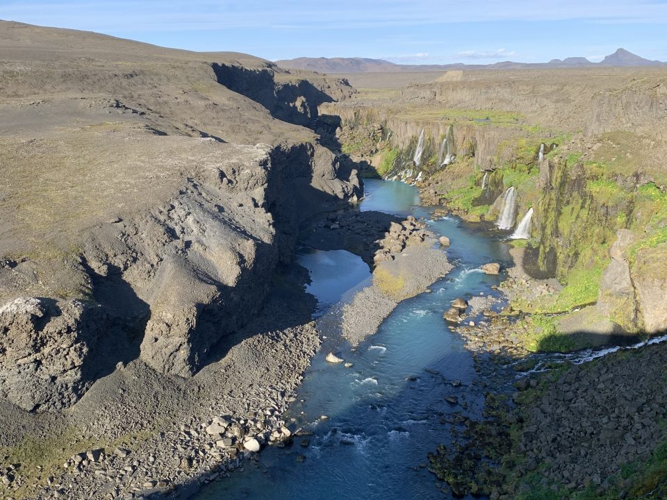
Once you’ll be near Landmannalaugar, you can stop at Sigöldugljúfur, the “Valley of Tears”. The name originates from the numerous waterfalls, which are located here. Originally, this canyon was a riverbed, but once the Sigala hydroelectric station became operational, the surrounding landscape changed drastically, and nowadays this picturesque canyon functions as a memento of bygone days.


